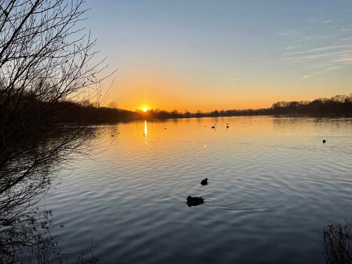
BLOG: What we know about how the water behaves at the Aquadrome
We have received a report that informs us how water moves at the Rickmansworth Aquadrome. I thought I would take some time to explain what this means for the nature reserve, writes Cllr Jon Tankard, Three Rivers District Council’s Lead Member for Climate Change & Sustainability.
As you are aware, the council is undertaking significant work to restore, improve and safeguard the Aquadrome for the future so that visitors can connect with and discover beautiful and unique landscapes while protecting the thriving wildlife.
Our officers and our specialist contractor, RSK, have worked very hard to gather evidence and information from a multitude of surveys and highly technical computer programming and modelling to develop a masterplan, which will include detailed designs that will give us clear specifications, costs and planned programmes.
One of the major reports we needed to progress with our vision for the Aquadrome was on the site’s hydrology. Based on the most up to date flood modeling from the Environmental Agency, the hydrology report informs us on how the complex water network moves in and around the nature reserve and how the nearby canal and Rivers Gade, Chess and Colne affect the site.
The report states that the Aquadrome has a “2-year return period”. Now, you might read that as a flood that only happens every 2 years. That isn’t quite right. What it actually means is that the flooding at the site has a 1 in 2, or 50%, chance of happening every year and each flood may be of completely different depths some as shallow as 2cm. With the impact of climate change, we must take into consideration that yearly flooding at the site will increase further. It’s important to note that the Aquadrome does periodically flood because it is a floodplain. While it can be an inconvenience, it does mean it is doing its job in protecting the town’s homes and businesses.
Now that we have a better understanding of how the site’s water moves at the site and how best to manage it, this will inform our design work and give us rough timescales on the works. We also are better informed on what type of materials to use to replace and/or improve the pathways at the site. There was no point in improving the pathways before the report was completed as the materials could have washed away, which would be a waste of resources.
While the water is complicated, it does provide opportunities to explore measures that restore natural chalk streams and improve the local ecology, such as the creation of an additional section of river channel or new wetland habitats. There needs to be a multitude of solutions to allow this site to continue to do its job whilst maintaining it as a public space. Unfortunately, it’s not as simple as clearing the existing culverts at the site, it’s a bit more complex.
We have published a hydrological summary of our findings in a digestible presentation for you to read. The full report can be found on the council’s Aquadrome Data Hub. We are also engaging with residents on the early-stage conceptual designs for the Rickmansworth Aquadrome, which you can find more about here.
| Headless Content Management with Blaze